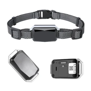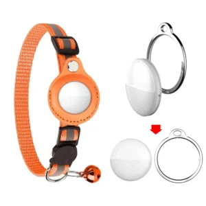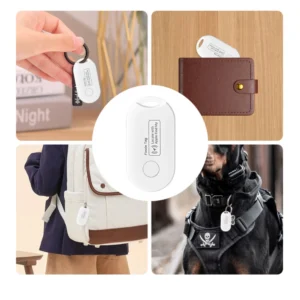
A GPS tracker works in two separate stages: first, a receiver calculates its position from satellite timing signals; second, the device stores that position or sends it through a cellular, Wi-Fi, radio, or satellite connection so the user can view it in an app or platform. GPS provides the position—it does not, by itself, send that position to your phone.
Reviewed and updated: July 2026. Scope: consumer and commercial GPS/GNSS trackers. Exact accuracy, update frequency, battery life, and network availability depend on the device design, antenna, configuration, environment, and service provider.

How a GPS tracker works in four steps
| Step | What happens | Main hardware or service |
|---|---|---|
| 1. Receive | The device receives time and orbit data from visible navigation satellites. | GNSS antenna and receiver |
| 2. Calculate | The receiver estimates latitude, longitude, altitude, and time from the signal travel times. | GNSS chipset and processor |
| 3. Record | The device adds a timestamp and may combine the position with motion, speed, battery, or sensor data. | Processor, memory, and sensors |
| 4. Deliver | The location is stored locally or sent to a server, then displayed in an app or web dashboard. | Cellular, Wi-Fi, radio, Bluetooth, or satellite communication |
Step 1: the tracker receives satellite signals
GPS satellites transmit one-way radio signals containing precise time and satellite-position information. The receiver inside the tracker listens for those signals. The satellites do not know who is receiving them and do not track the device on the ground.
The official GPS system overview describes three parts of the system: satellites in space, ground control stations, and user receivers. A tracker belongs to the user segment. Its receiver uses the transmitted information to calculate its own three-dimensional position and time.
Step 2: the receiver calculates its position
Radio signals travel at the speed of light. By comparing the time a signal was transmitted with the time it arrived, the receiver estimates its distance from each satellite. It then uses trilateration to solve for its position.
A three-dimensional fix normally requires signals from at least four satellites because the receiver must solve for latitude, longitude, altitude, and its own clock error. The official GPS educational guide illustrates this four-satellite calculation.
GPS or GNSS: what is the difference?
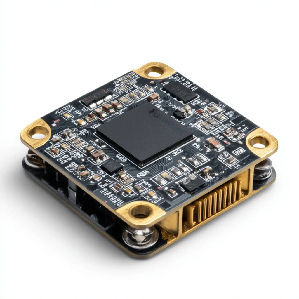
GPS is the United States satellite-navigation system. GNSS is the broader term for global navigation satellite systems, including GPS, Galileo, BeiDou, and GLONASS. Many modern products marketed as “GPS trackers” actually use multi-constellation GNSS receivers. Access to more usable satellites can improve availability and positioning stability, but it does not guarantee a fixed accuracy in every environment.
For a broader comparison with Bluetooth, Wi-Fi, and cellular positioning, see GPS and other location technologies.
Step 3: the tracker turns coordinates into useful data
The receiver outputs coordinates and timing data. The tracker processor can then add information such as movement status, speed, heading, battery level, or readings from an accelerometer and other sensors. The exact data depends on the product.
- Current position: a latitude and longitude with a timestamp.
- Track history: a sequence of stored positions.
- Movement events: motion, stops, or vibration detected by sensors.
- Geofence events: an alert generated by the platform when a reported position crosses a configured boundary.
- Device status: battery, signal, charging, or connectivity information when supported.
A geofence is not a physical barrier, and its alert speed depends on the position-update interval and data connection. A tracker configured to report less often may save power but will also provide a less detailed route and slower alerts.
Step 4: the device sends or stores the location
This is the part most often confused with GPS. Satellite positioning and remote communication are different functions.
- Cellular tracker: sends records through a mobile network, usually using a SIM or eSIM and a compatible data plan.
- Offline GPS logger: stores positions in local memory for later download and does not need a live data connection.
- Bluetooth-assisted device: transfers data over a short-range connection to a nearby phone.
- Wi-Fi or radio solution: communicates only where the required infrastructure is available.
- Satellite communicator: uses a separate satellite-communication service for remote areas; GPS still provides the position.
The U.S. government’s GPS FAQ makes the distinction clear: GPS satellites are one-way beacons, while commercial devices may use recording or communication features to track assets, vehicles, animals, or people.
Read our detailed guide to how GPS trackers communicate their location for the differences among cellular, Wi-Fi, radio, and offline designs.
Why GPS tracker accuracy and update speed vary
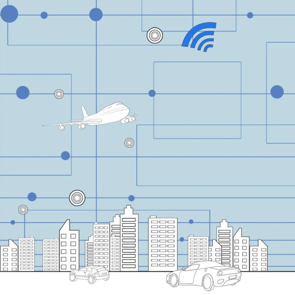
No responsible supplier should promise one accuracy figure for every location. GPS.gov identifies buildings, bridges, trees, indoor or underground use, and reflected signals as common causes of degraded positioning. Antenna placement, receiver quality, available constellations, power mode, and device orientation also matter.
Location accuracy and update frequency are also different. A device may calculate a good position but upload it slowly because of weak cellular coverage or a power-saving setting. Conversely, frequent uploads cannot correct poor satellite reception. Learn more in Can GPS Trackers Work Indoors?
Practical buyer checklist: test the complete tracking chain
Datasheet specifications are useful, but a procurement decision should be based on the complete device-to-platform workflow in the intended market. Ask a supplier for a sample and document the test conditions so results can be repeated.
- Confirm the positioning hardware. Ask which GNSS constellations and frequency bands the exact model supports.
- Check regional connectivity. Verify modem bands, SIM or eSIM requirements, carrier coverage, roaming, and platform fees in the target countries.
- Test representative environments. Include open sky, streets near tall buildings, inside the intended enclosure, and realistic indoor conditions.
- Record time to first fix and recovery. Test after a cold start, after sleep, and after leaving an obstructed area.
- Measure the battery trade-off. Compare battery life using the actual reporting interval, motion settings, temperature, and network conditions.
- Verify data ownership and retention. Confirm who operates the server, how long history is stored, who can access it, and how accounts are protected.
- Review alerts and failure states. Test low battery, loss of network, geofence crossing, device removal, and delayed uploads.
- Check compliance and labeling. Requirements vary by product type and sales region; confirm the final hardware, radio module, battery, charger, and packaging—not only a similar sample.
Common misunderstandings
Does a GPS tracker communicate directly with GPS satellites?
It receives one-way navigation signals from GPS satellites. A normal GPS receiver does not send its location back to those satellites. Remote tracking requires a separate communication path.
Does every GPS tracker need a SIM card?
No. An offline logger can store positions locally. A cellular tracker normally needs an active SIM or eSIM service, while radio and satellite-communication products use different infrastructure.
Can a GPS tracker work anywhere in the world?
Satellite visibility may be global, but the complete service is limited by antenna conditions, power, modem bands, carrier coverage, roaming agreements, platform availability, and local rules. “Global GPS” does not automatically mean global real-time communication.
Is a Bluetooth smart tag the same as a GPS tracker?
No. Most item-finding tags use Bluetooth and a nearby phone or crowdsourced device network. They are optimized for low power and finding belongings, while GPS/GNSS trackers calculate their own position and may use cellular or other communication for remote monitoring.
Choosing a tracker for an OEM or wholesale project
Start with the use case, geography, reporting interval, enclosure, battery target, and platform requirements. These decisions affect the antenna, chipset, modem, firmware, subscription model, and certification plan. Browse our GPS tracker product range or contact us with the target market and application for a model-level compatibility review.
Sources and editorial method
This guide uses first-party technical information from GPS.gov’s system overview, its accuracy guidance, and its GPS FAQ. Product-specific performance claims are intentionally excluded because they must be verified for the exact hardware, firmware, network, configuration, and test environment.