“Range” is a crucial indicator when choosing a tracker, whether it is for finding keys, monitoring a vehicle or hiking. Many people ask, which tracker has the longest range? The answer depends not on a specific brand or model, but on the core technology. This article delves into how different types of trackers work and reveals who the true king of distance is.
Preface: breaking the myth of scope
Many users in the search for“Farthest range” tracker, in fact, is looking for a maximum guarantee of connection stability, high precision, fast transmission solutions. In fact, the“Track range” is not an absolute number, but by the use of communication technology to determine. Different technologies have different strengths, but the key lies in the usage scenario and environment. This article will analyze the three main tracker types from near to far, and finally provide comparison and purchase advice.
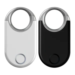
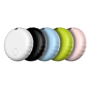
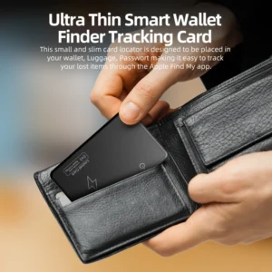
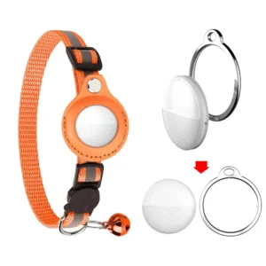
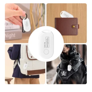
Near-field king: Bluetooth Trackers
![]()
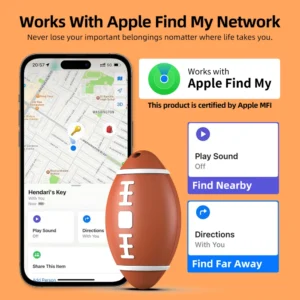
How it works: you communicate with a nearby smartphone over Bluetooth, using a“Find My” or Tile network to locate your location.
Products: Apple AirTag, Tile Pro, Chipolo ONE.
Range characteristics:
– direct connections range from 10m to 120m, depending on model and operating environment;
– relying on crowdsourced networks (such as iPhone users passing by) to achieve theoretically unlimited reach, but doing so poorly in sparsely populated areas.
Conclusion: it is not a real long-distance tracking, but a good helper to find everyday objects in urban environment.
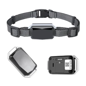
4G/LTE GPS trackers
![]()
How it works: GPS Plus cellular data upload locations.
Representative products: LandAirSea 54, Tracki, Vyncs.
Range characteristics:
– it can be used anywhere there is a cell phone signal, making it nearly global to track
– No way to update your location in remote mountain areas, deserts, sea and other areas where there is no internet.
Conclusions: vehicle tracking, pet management, and city-wide real-time tracking are the preferred options.
The Ultimate: Satellite GPS trackers
How it works: Global Communications using satellite networks, such as Iridium or Globalstar, don’t rely on terrestrial cellular signals.
Stand for product: Spot Gen4, Garmin Inreach Mini 2.
Scope features:
True global coverage, where devices can communicate as long as they“See” the sky
– signal may be limited in canyons, deep forests or inside buildings
– high costs and the need to purchase equipment and subscribe to satellite service packages.
Conclusion: the only reliable option for wilderness exploration and remote working environments is the veritable“King of distance”.
Side-by-side comparison: see who has run the longest in a picture
| Track the type of technology | Effective Range | Major limitations | Typical application scenarios | Equipment costs | Service charge |
| Bluetooth tracker | 10-120 meters | Dependent on nearby equipment network, the environment easily disturbed | Keys, wallets, everyday items | low | no |
| Cellular GPS Tracker | Where there’s a cell phone signal | Limited network coverage (no signal in mountains/ocean) | Vehicles, pets, family tracking | medium | medium |
| Satellite GPS Tracker | Global coverage | It needs unobstructed skies, expensive equipment and high service fees | Exploration, ocean-going, remote operations | high | high |
Conclusion: How do you choose the best“Remote” tracker for you?
Bottom line: there’s no one technology for everyone, only the scenario that works best for you.
– find keys/wallets on a daily basis: Bluetooth trackers are cheap, power efficient, and easy to use
– track your car/family in the city: Cellular GPS devices are the most cost-effective solution
– no-signal remote adventure scenarios: Satellite GPS is the only viable option.
Suggestion: make clear the usage scenario, understand the budget constraint, and combine the service cost to make the most suitable tracker choice.

